Our Amazing Planet: Top to Bottom infographic
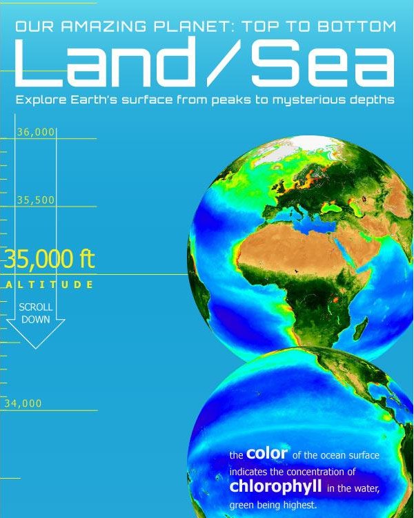
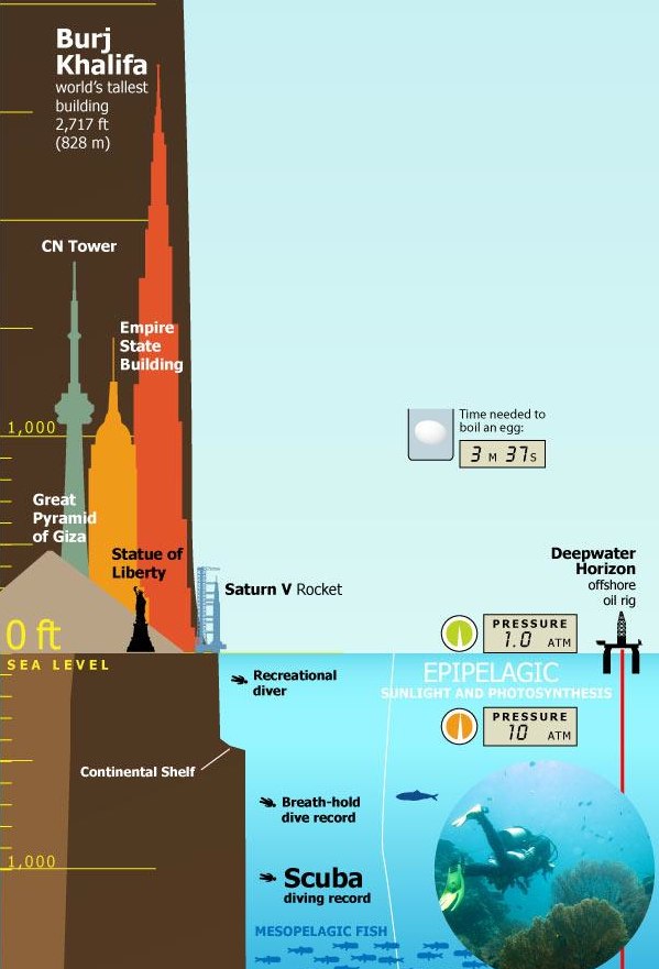
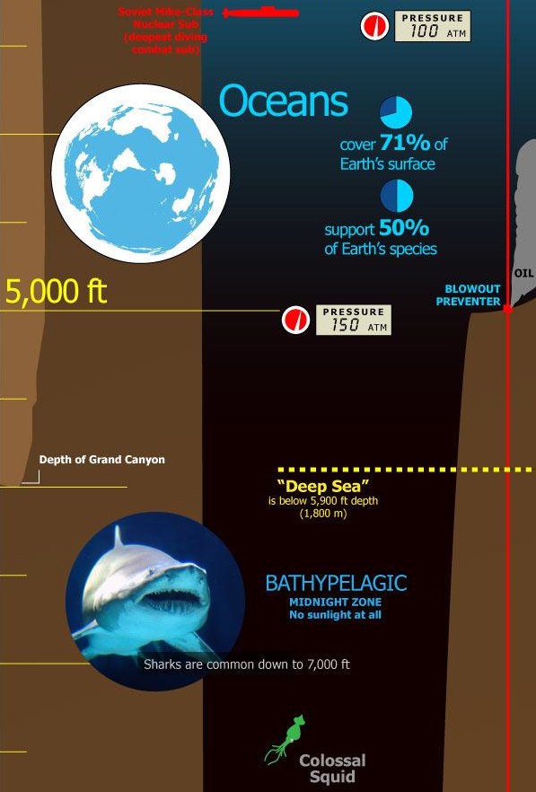
Designed by Karl Tate, Our Amazing Planet: Top to Bottom is a cool infographic that looks at the scale of things from the upper atmosphere to the deepest ocean depths.
The infographic is HUGE (14,677 pixels tall), and that keeps it accurate to the scale. It’s unreadable when the entire infographic is viewed on the screen, and that adds to the readers grasp of how big this scale really is.
It’s also timely with recent events, showing the depth of the Deepwater Horizon oil rig spill, and drilling depth. You can view the entire image on OurAmazingPlanet.com.


 Randy
Randy


Reader Comments (4)
This is an amazing poster. Thanks!
hi - is it possible to buy this as a poster at all? its great!
Not that I'm aware of. Send a note to folks at OurAmazingPlanet.com
The Infographic for Tallest Mountain to Deepest Ocean Trench, needs correcting.
It shows the Grand Canyon as though the highest point is at sea level then shows the bottom as being over 5000 feet below sea level.
It actually starts at 7000-8000' above sea level and bottoms out above sea level. Carl Cullings